Sinharaja Forest
.jpg)
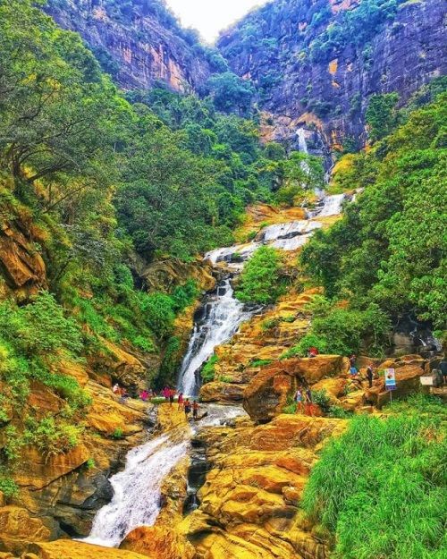
Encompassing the last extensive patch of primary lowland rainforest in Sri Lanka, Sinharaja Forest Reserve is situated in the south-west lowland wet zone of Sri Lanka. Covering an area of 8,864 hac and ranging from an altitude of 300 � 1,170 meters, it consists of 6,092 ha of Forest Reserve and 2,772 ha of Proposed Forest Reserve. This narrow strip of undulating terrain encompasses a series of ridges and valleys that are crisscrossed by an intricate network of streams. Draining to both the south and north, this detailed matrix of waterways flow into the Gin River on the southern boundary of the property and Kalu River via the Napola Dola, Koskulana Ganga and Kudawa Ganga on its northern boundary. Annual rainfall over the last 60 years has ranged from 3614 - 5006 mm with most of the precipitation during the south-west monsoon (May-July) and the north-east monsoon (November- January).
|
|


.jpg)
.jpg)
.jpeg)


