Countries of the World - Geography
Mountain Climbing Near Seoul, South Korea

Hi, my name's Elena. I am a Korean - New Zealander and I live just a little north of Seoul, South Korea in a place called Uijeongbu. I am 9 years old. There are so many mountains nearby where I live. Recently I have climbed some of those mountains with my father and I want to climb some more. In this blog, I will introduce you to these mountains, give some information about them and show some of my pictures.


Saturday 16th January

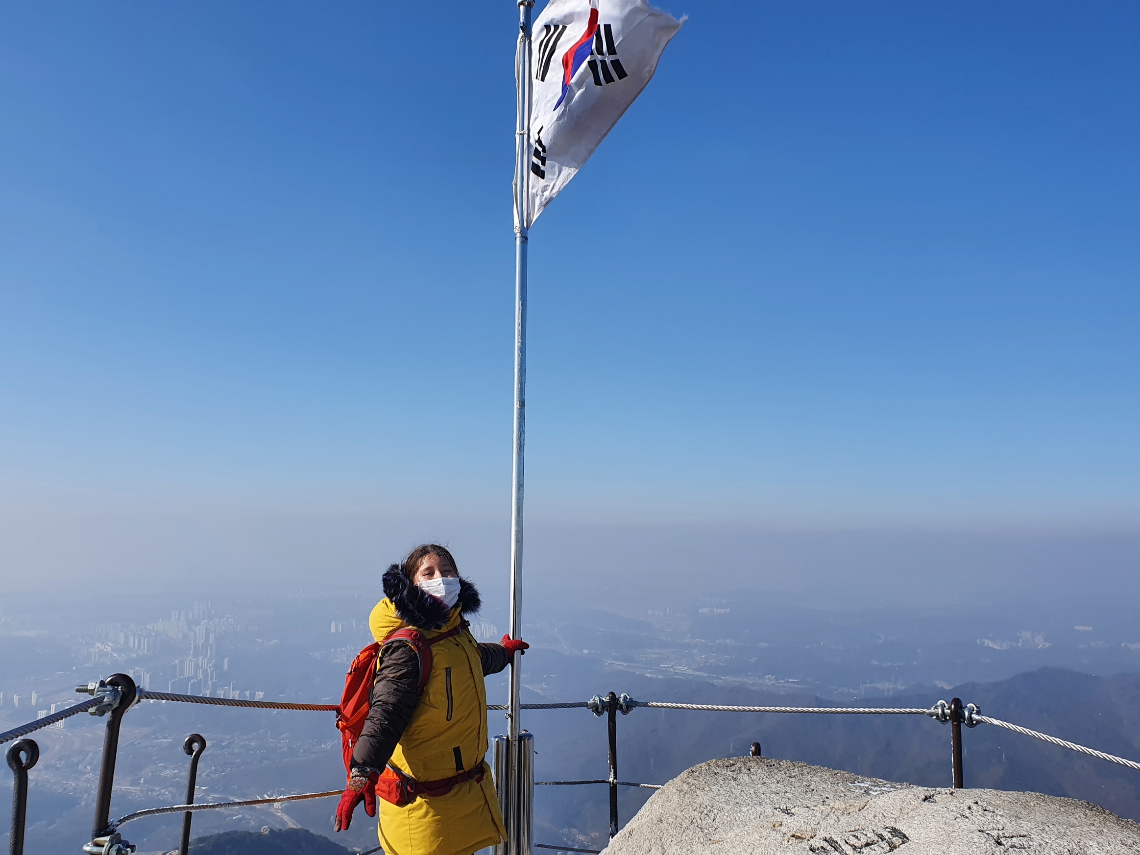
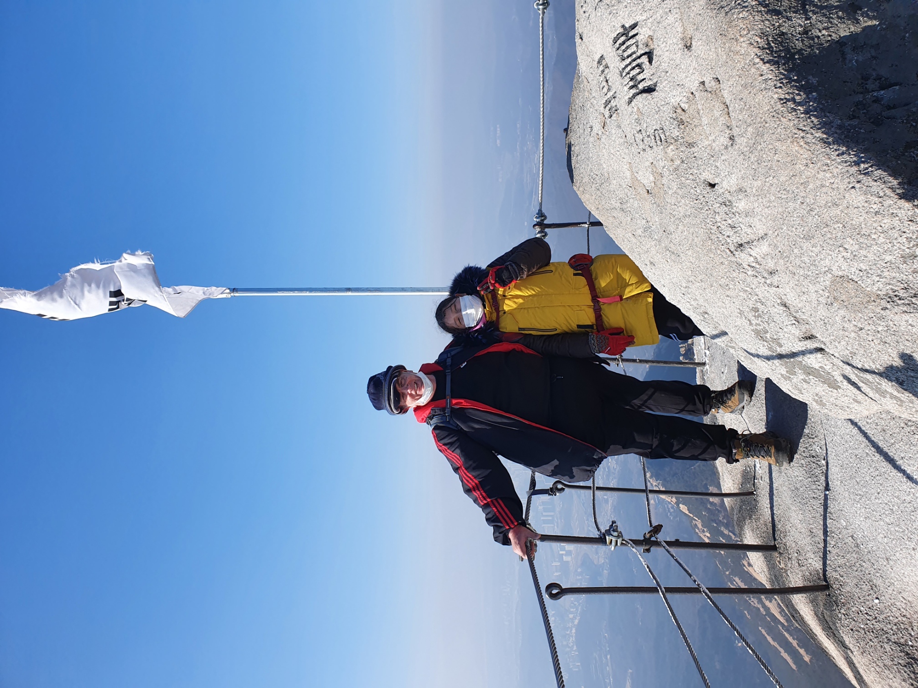
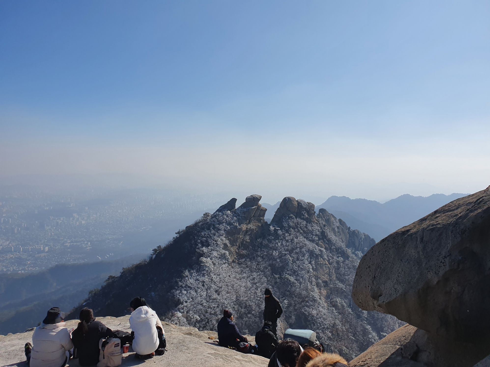
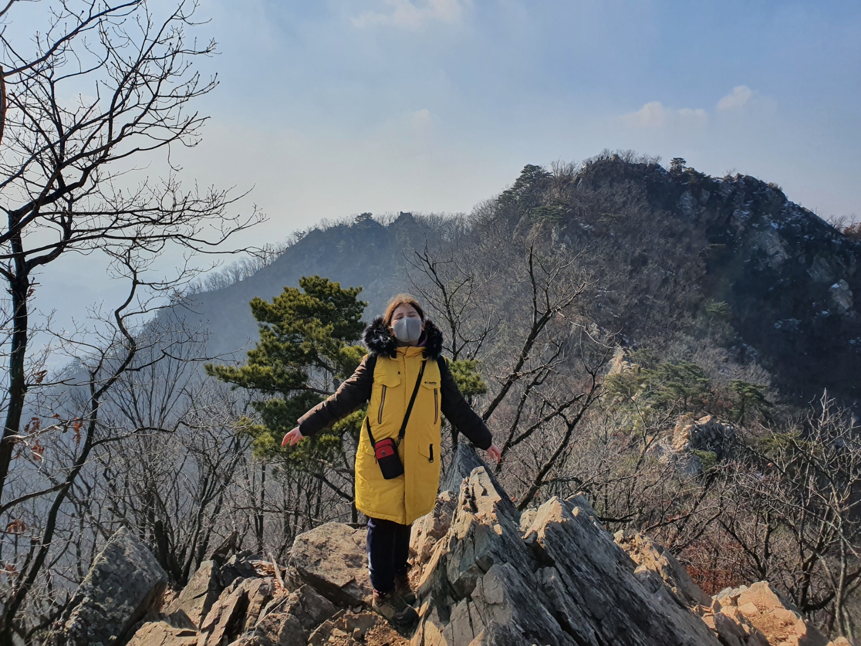
We had to take a break last weekend because the temperatures dropped below -20 degrees Celsius. However, this weekend we completed our highest climb to date. Mount Bukhan is one of the most popular mountains in Korea and it is also only about 13 kilometers away from where we live in Uijeongbu, but just within the Seoul boundary. It has three peaks; Bukhandae being the highest in this region at 836.5 meters. That's the one we climbed, and you can see us at the summit in the two pictures immediately below. (Don't forget to double / triple click the photos to get a larger view.)


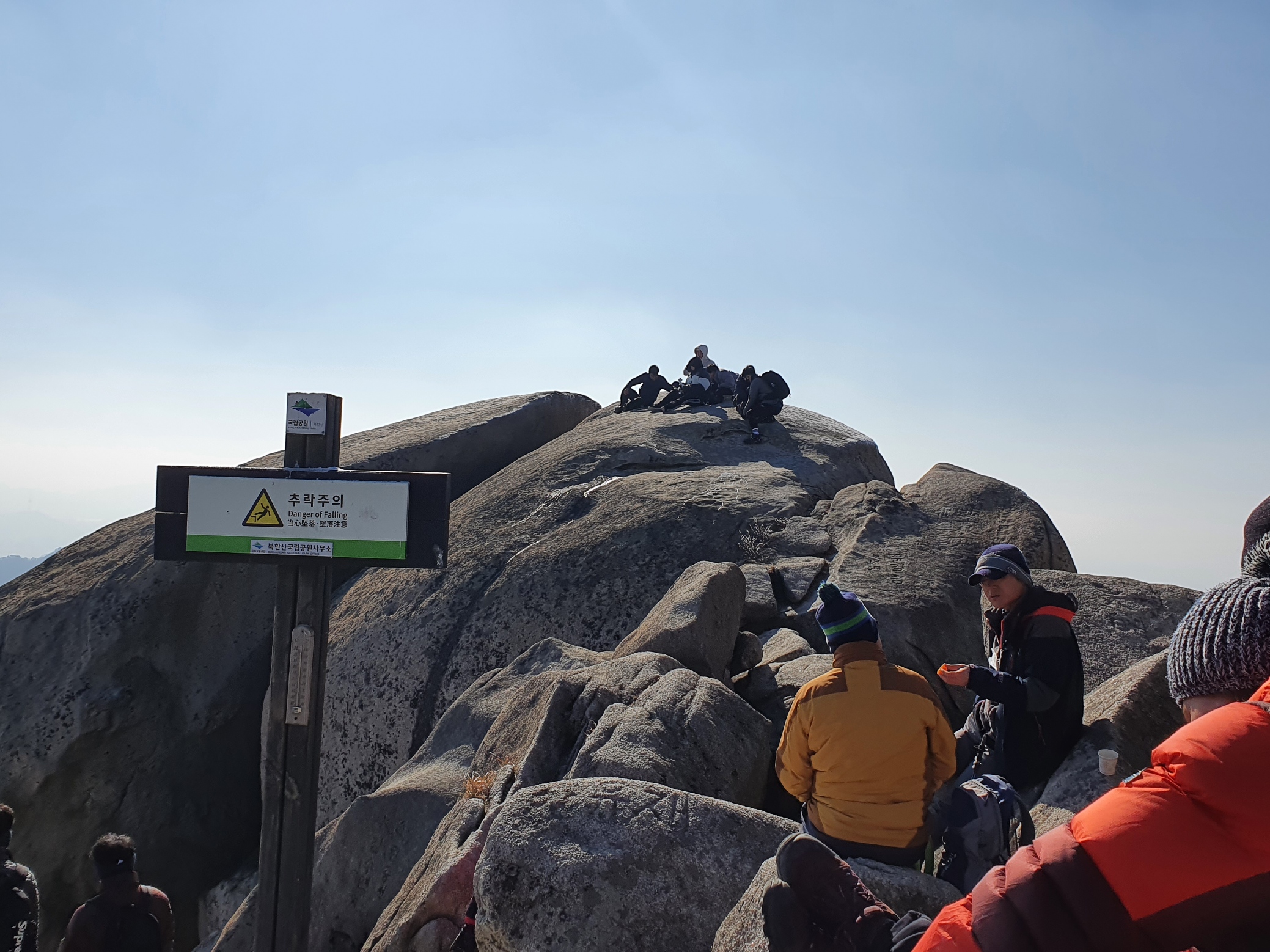
This is just below the above peak. Some of these climbers are quite fearless about where they perch themselves.


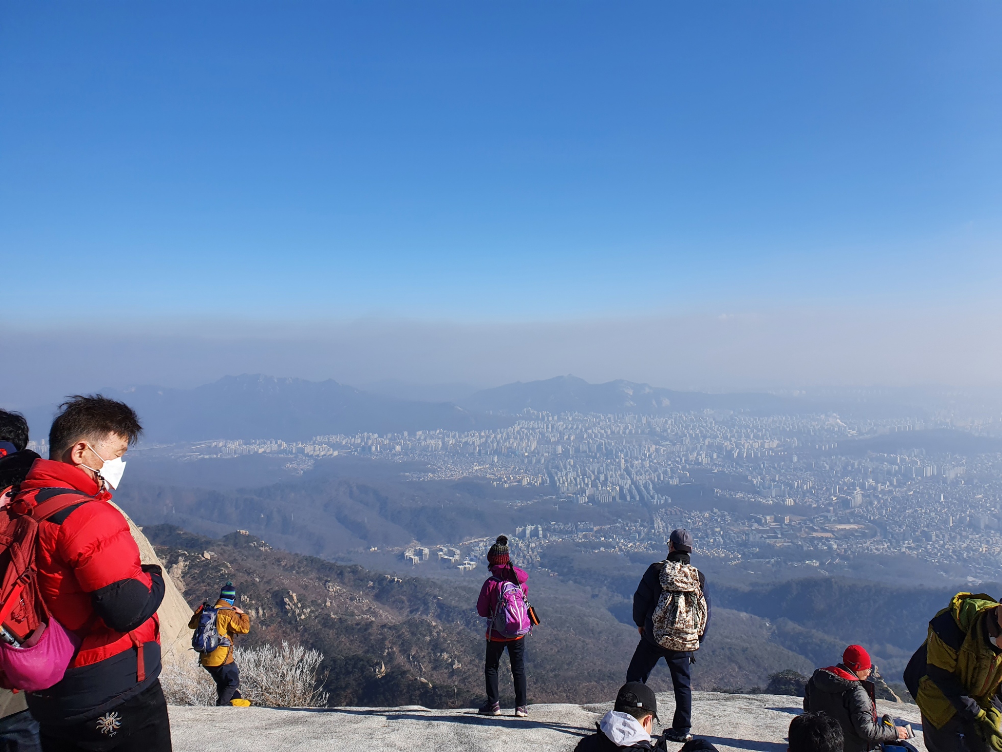
We also managed to eat lunch at the top (in a safe spot).


Here's a couple of photos we took on the way up.


Arrival

Friday 1st January, 2021

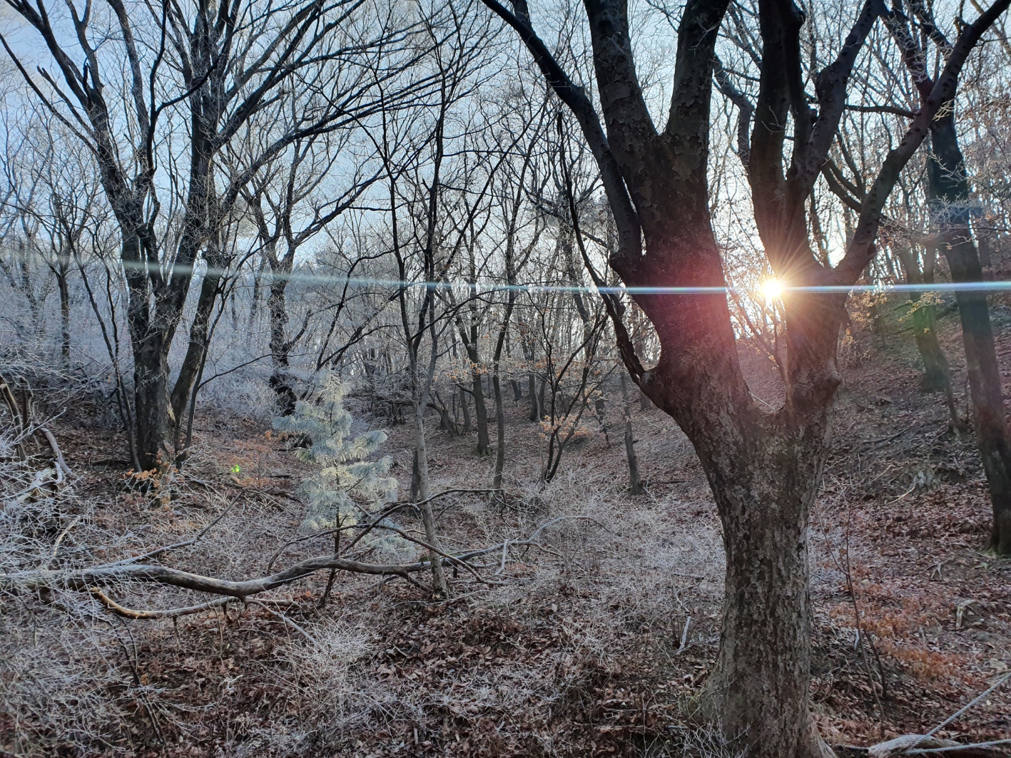
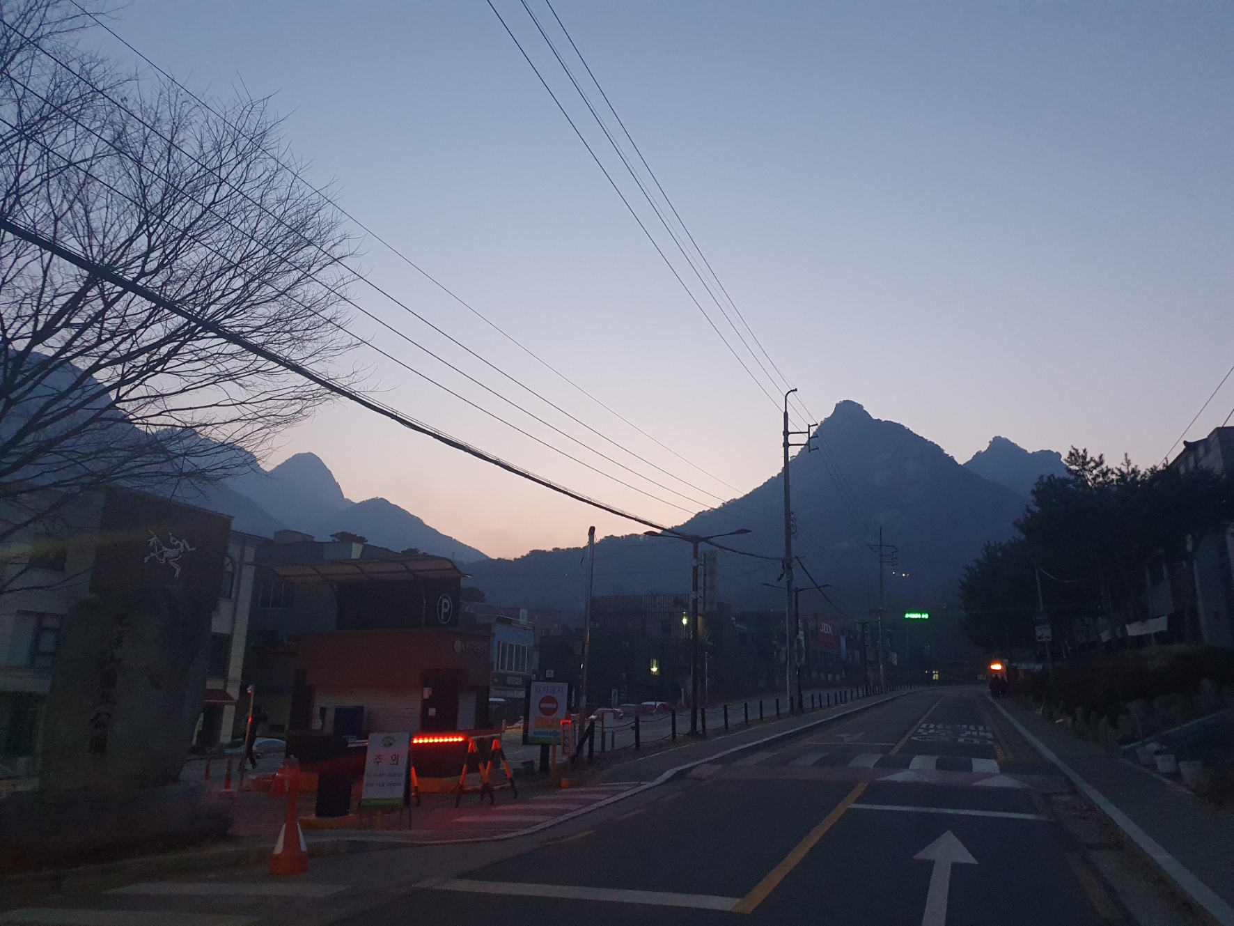
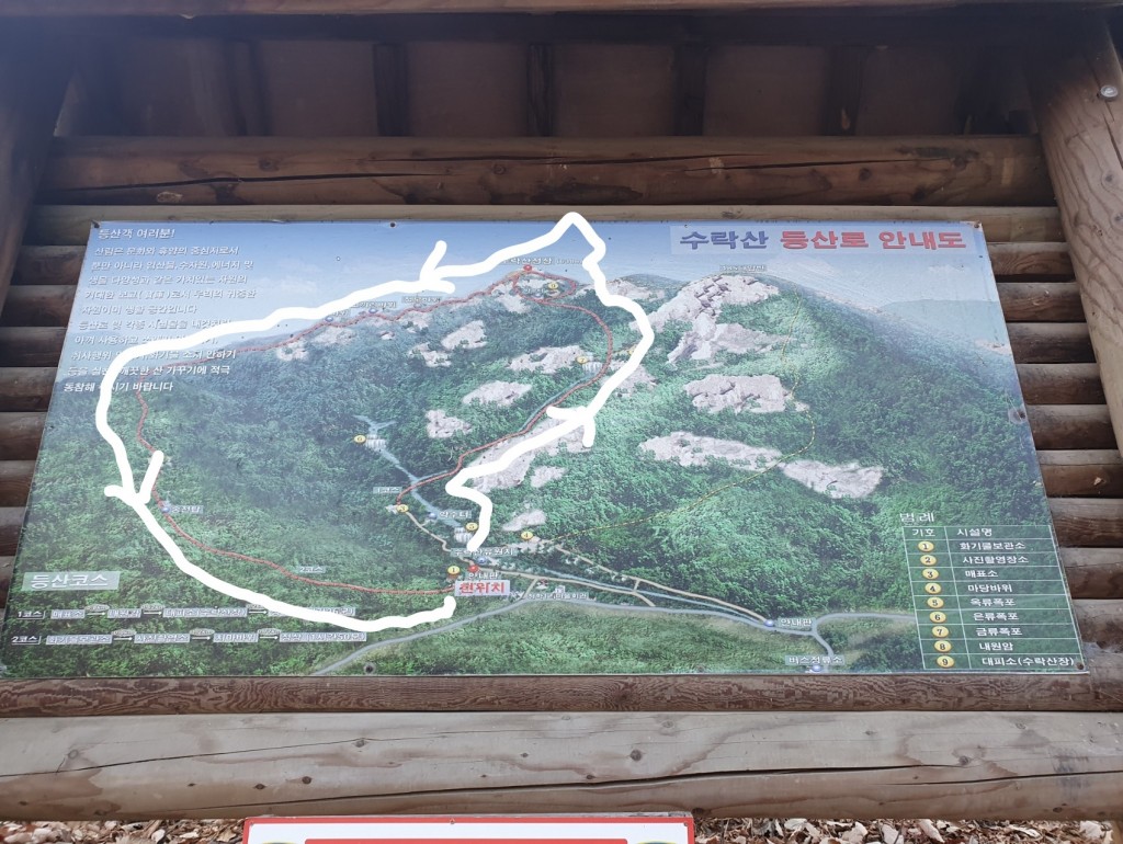
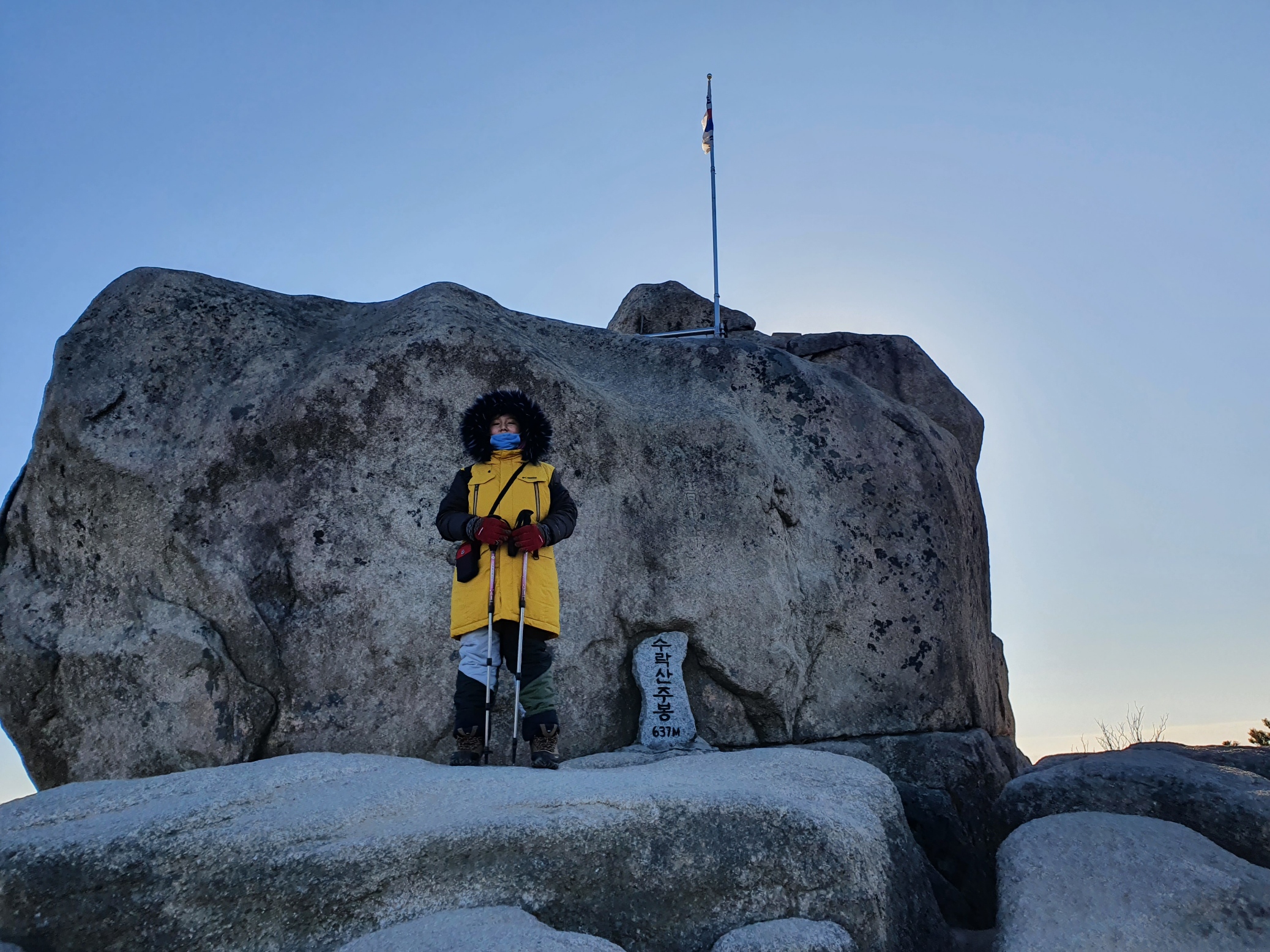
For the first morning of the new year, 2021, we visited a nearby mountain known as Mt. Surak (not to be confused with another famous mountain in another province of South Korea, Mt. Sarak). It was the first time for me and also the first time for my Dad to climb this particular trail. You really need a car to get to this side of the mountain. You can enter the other side from close by subway stations. The first two pictures below show the trail we took.


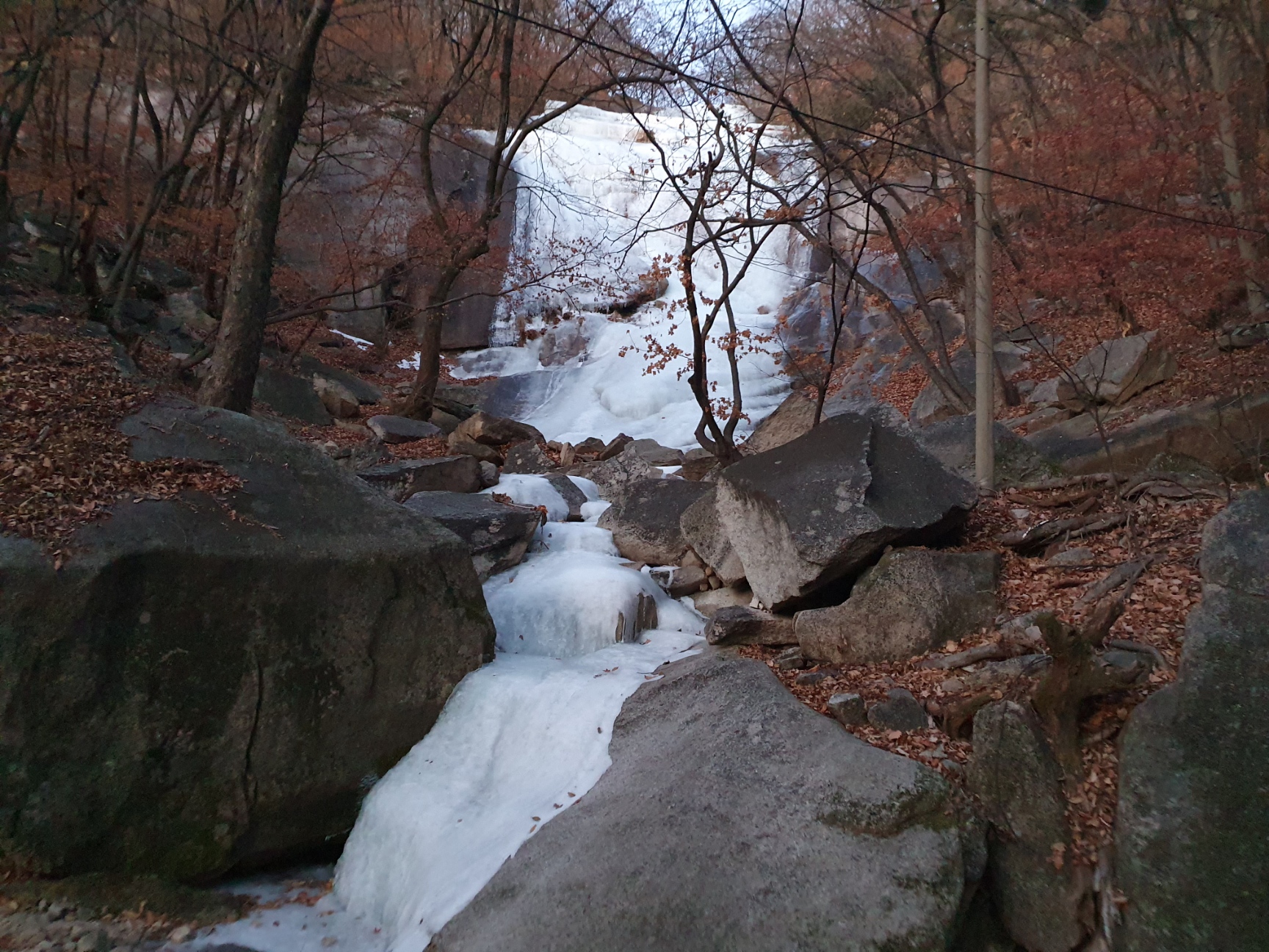
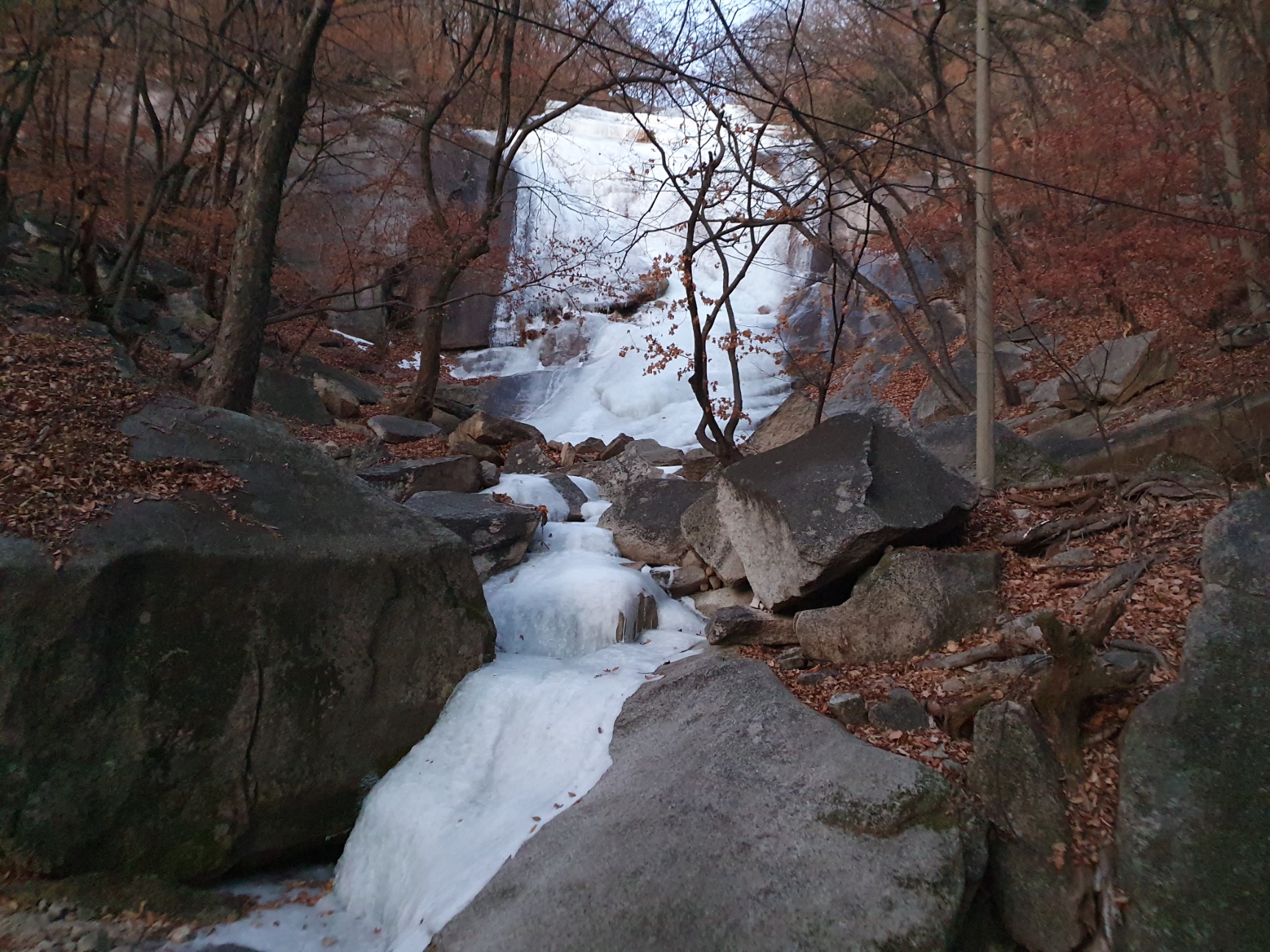
It would have been great to get to the top to see the sunrise on the first day of 2021. Because it was our first time on this trail, my Dad wasn't so keen on climbing so much of it in the dark. It was still pretty dark when we began the hike, though. The temperature dropped to around -12 degrees Celsius, but fortunately not much snow or ice has returned. To the right, below, there is a picture of an iced up waterfall not far from the entrance.


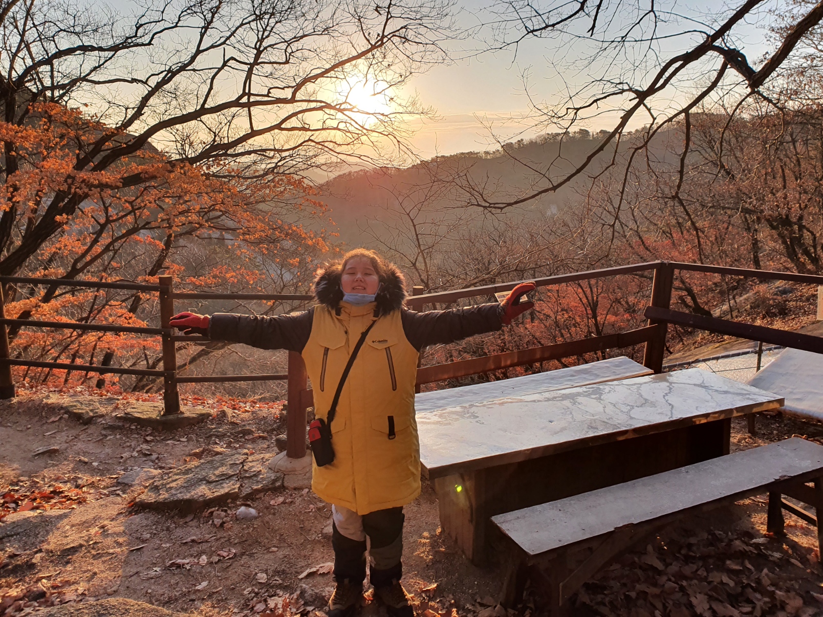
Here's the place where we actually got to see the sunrise. It was almost half way up.


A Buddhist temple was also located here.


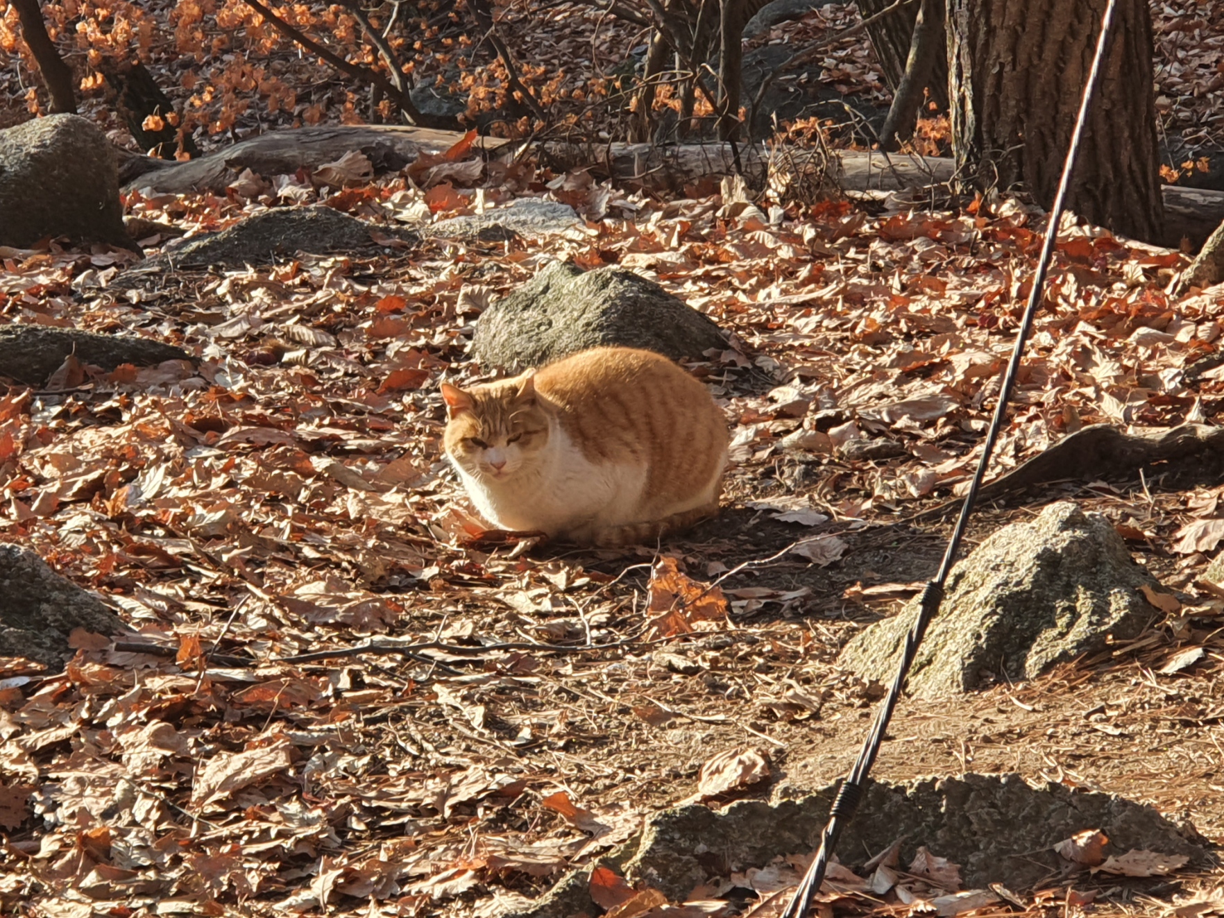
Getting closer to the top now. We also met this cat. There are many cats like this living in these mountains.


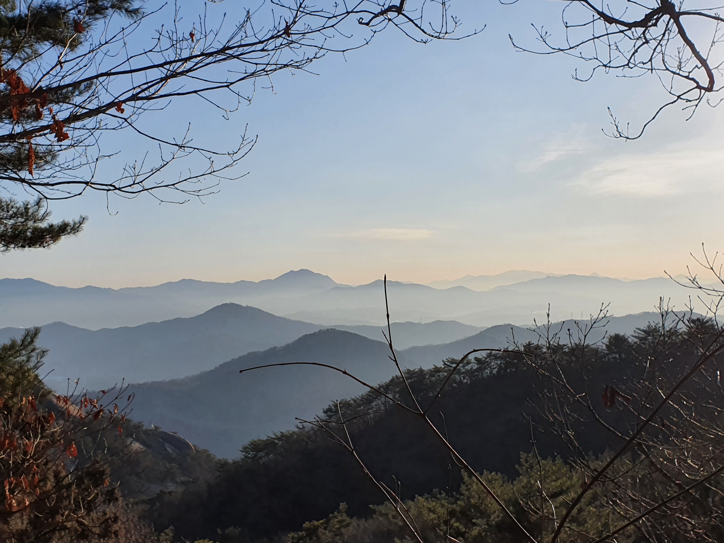
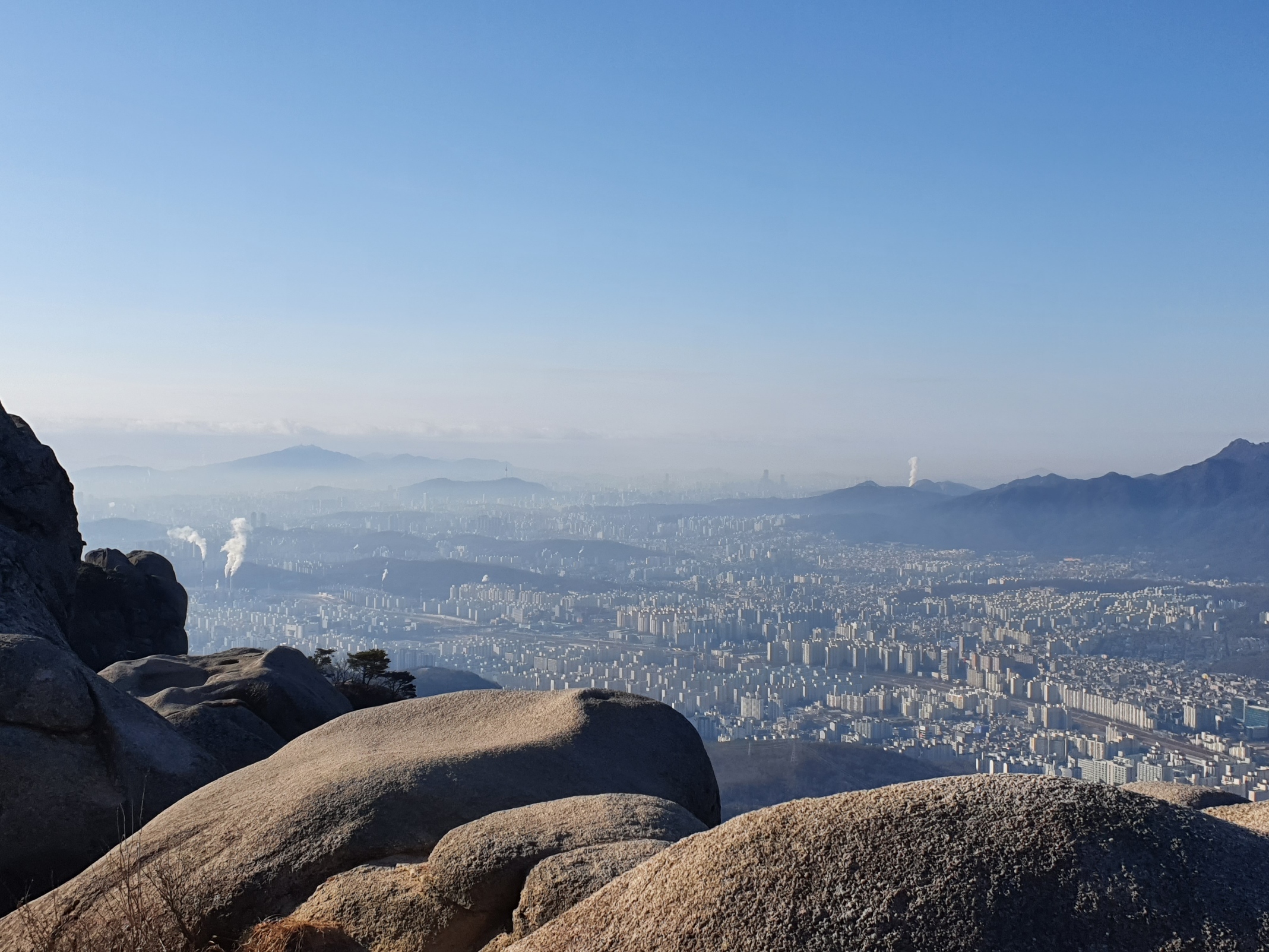
And here I am at the top of the highest peak with some views from here.


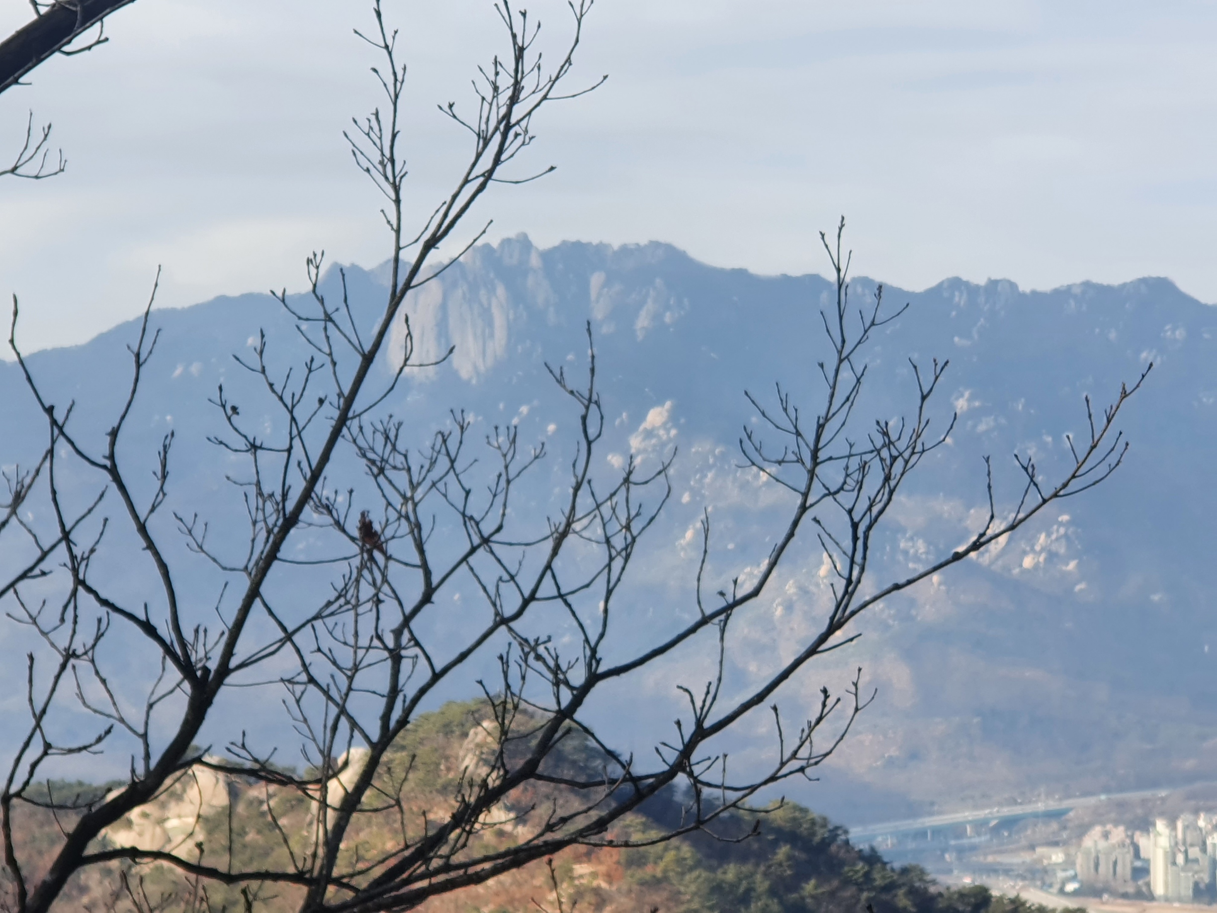
This is looking right back across at Mt. Dobong. The peak furthest to the right is Sapaesan where we were on December 19th (refer further below). We've hiked along most of that top ridgeline and plan to do it some more.


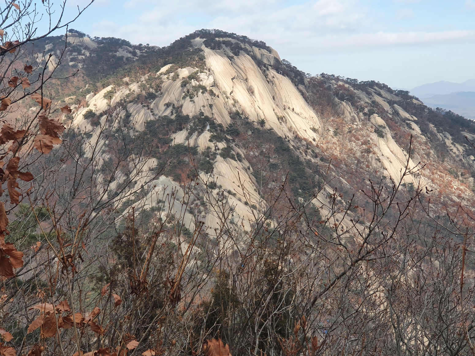
Well on our way back down again now and looking back.


Saturday 26th December

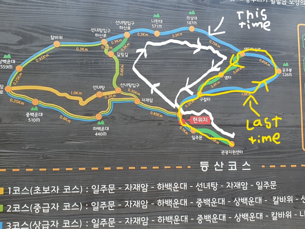
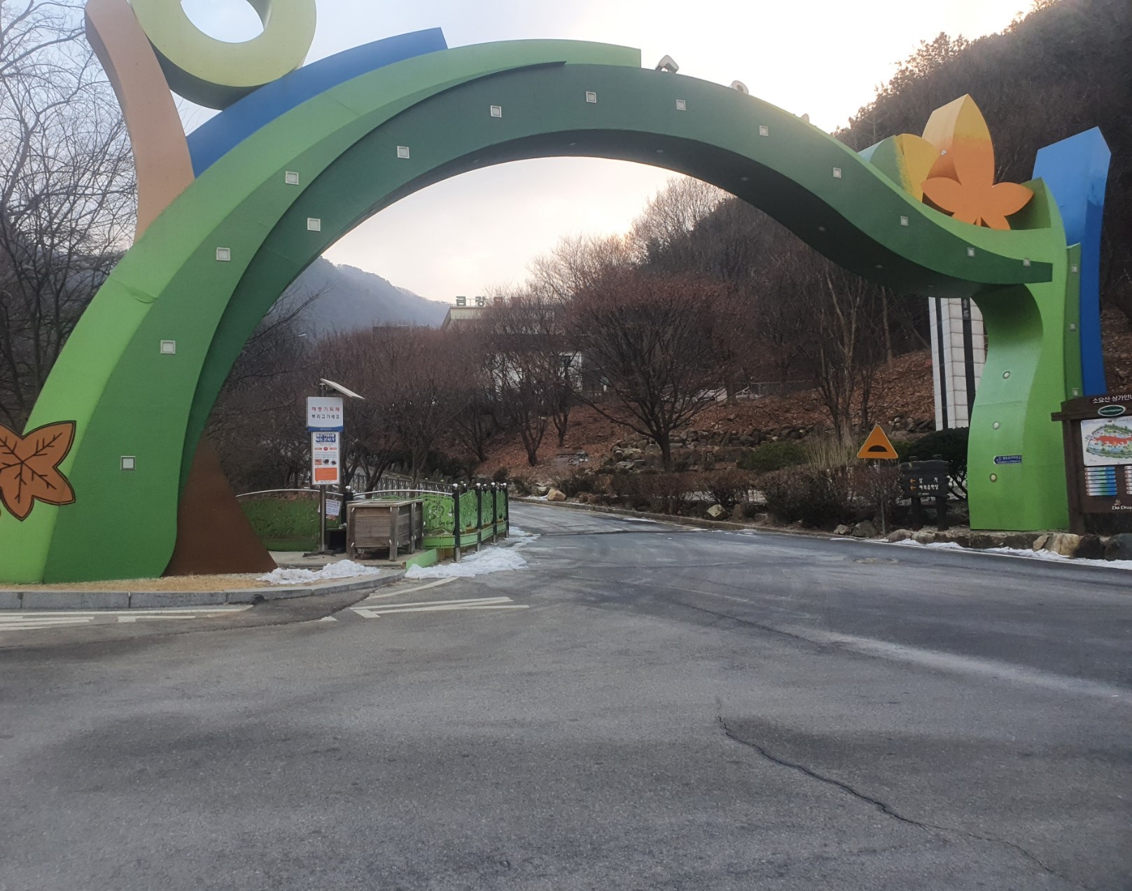
I climbed a more difficult mountain named Soyosan. Actually, it is the one you can see above. We (my father and I) went there a few weeks ago but only climbed an easier part of the mountain. This time, we went further along the top ridgeline as shown in this map on the left. On the right is a picture of the main entrance.


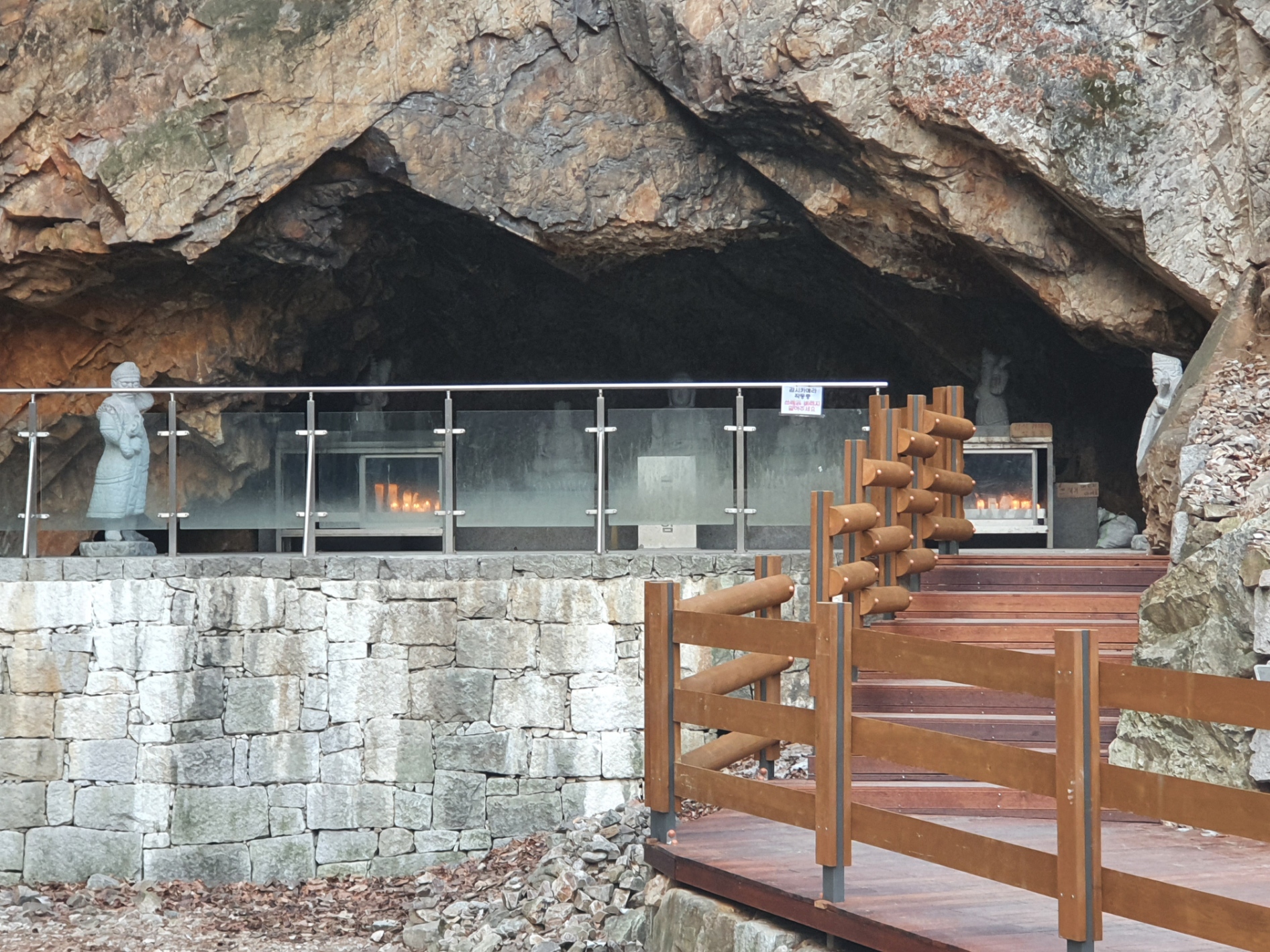
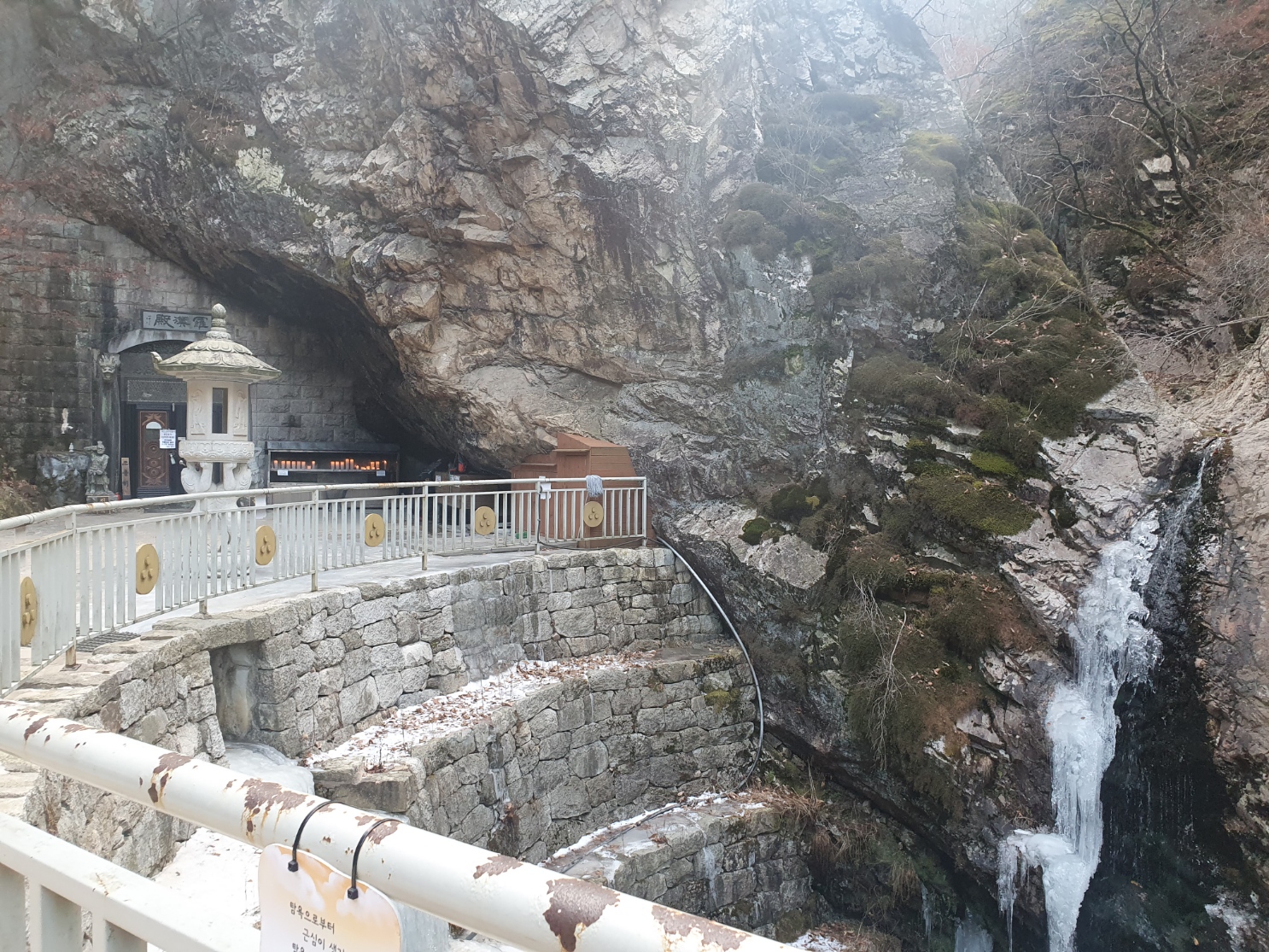
Here's a couple of pictures of Buddhist temples we past at the beginning of the climb.


We're now well on our way up. This turned out to be a really tough way to go because, as a local warned us at the beginning, there are over 4000 quite steep steps. It's much easier to go in the opposite direction indicated by the arrows in the previous map picture.


Found this when we first got to the top ridgeline.


On our way across the top ridgeline


And here we are at the two peaks you can see in the above map. The lower one to the left, and the higher on the right.


Spotted this when almost back at the entrance again.

Saturday, 19th December

We climbed another mountain quite close to our apartment. It's known as 'Sapaesan' . We'd climbed this one a few times before in the summer, but this was the first time in some snow and ice. I had to wear some chains on my climbing boots.

Sapaesan is the most northern peak of a very well known mountain ridgeline commonly called Dobongsan. It's not the highest peak on the ridgeline, but being the farthest north, you get some good views. There are a few different trails to the top. We mostly use the easiest one, known as the 'Angol' entrance. However, it's not close to any subway station and takes a bit of walking to arrive at the entrance. Let me know if you want directions to access this entrance.

I plan to get a lot more photos and info about Dobongsan on this blog in the future as we climb it some more.

This first picture is close to where we first entered.
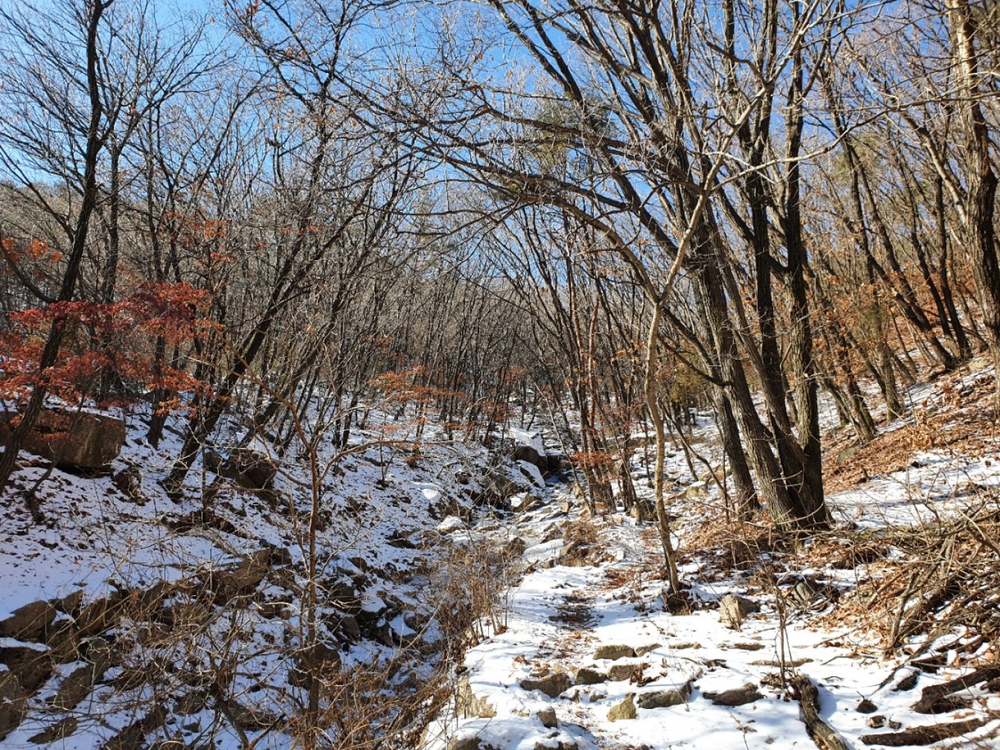
Last time we were here, this was a flowing stream.

[Click on photo for enlargement]


We named this place Cair Paravel because we think some of the ancient ruins of Narnia may be discovered here.

[Click on photo for enlargement]


Further inside the ancient ruins of Cair Paravel

[Click on photo for enlargement]


Not far to go now.

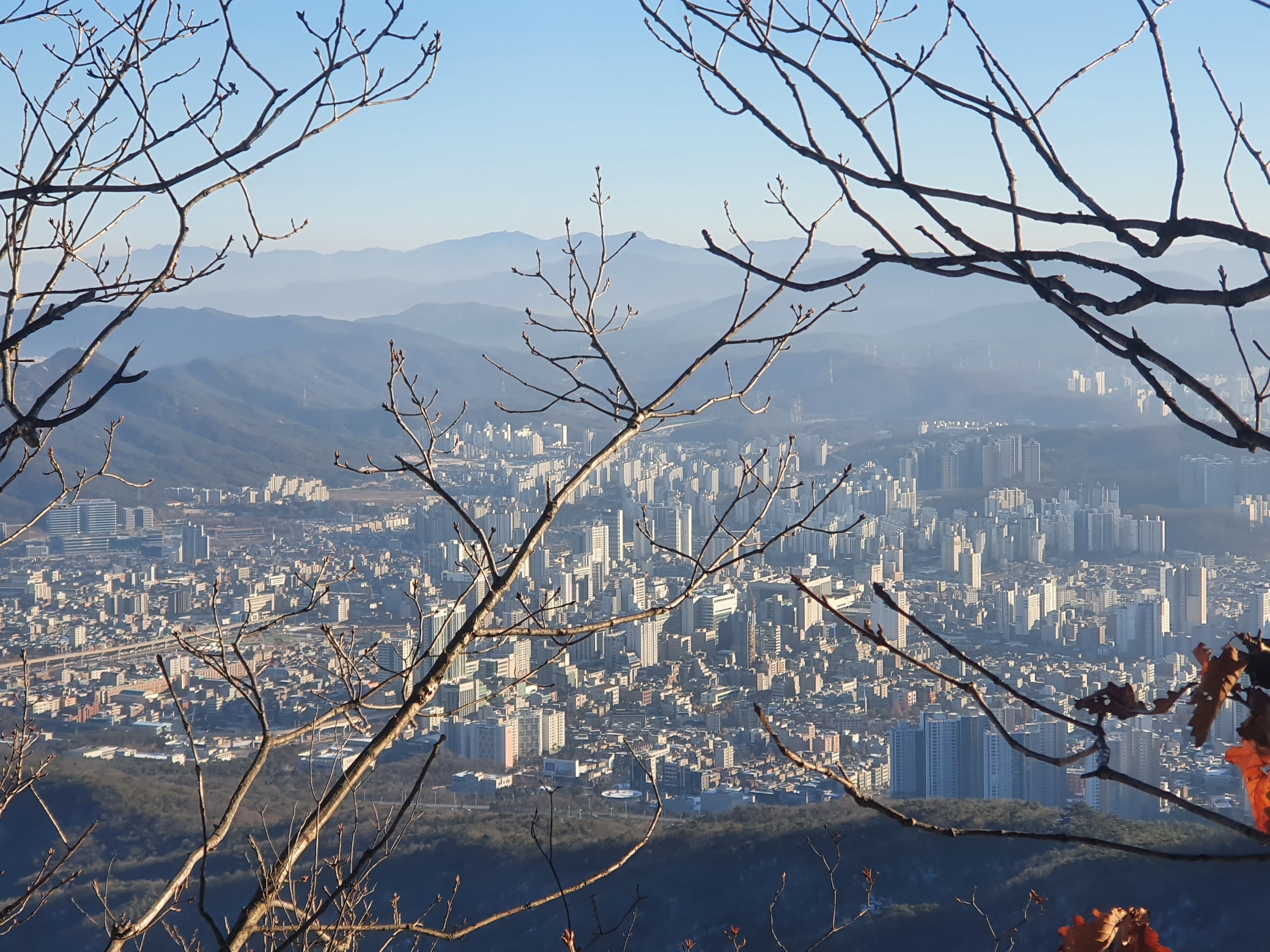
Quite close to the top and looking back across Uijeongbu

[Click on photo for enlargement]


[Click on photo for enlargement]


And here's one looking in the opposite direction.

[Click on photo for enlargement]

Here I am at the top.

[Click on photo for enlargement]

And here's my first snow woman on top of Sapaesan.

[Click on photo for enlargement]

Today, Saturday 12th December, my Father and I went to a mountain quite close to our apartment. It's name is Cheonbosan. This was also an interesting mountain to explore. I learned a few things about the place. It was originally a fortress, but now there's a communication station at the top. At the time of the Joseon Dynasty in Korea, a king fled to this place also during a time of war. He had his servant dress with gold and silver, perhaps to look more like the king than he.

It's a great place to watch the sunrise early in the morning.


On the way up


Made it to the top!


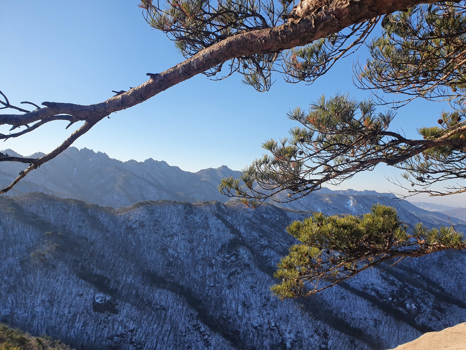
A couple of views from the top


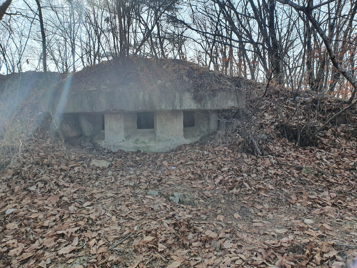
Here's an old bunker, maybe from the Korean war. It's quite close to the top.


And here's a couple of shots of the temple, also quite close to the top.


This last photo from today is quite close to the entrance we used.


Mountain Climbing Near Seoul, South Korea (Countries of the World - Geography)    -    Author : Elena - Korea


596 visitors since 2020-12-06
Last update : 2021-01-18

Blog-City.info >> Countries of the World >> Blog #32648

Create your own
WEBSITE !
PICTURES OF FRANCE


Visit France !

website author area
Password :
Forgot password? - unpublish